GPS Full Form
What is the full form of GPS?
The full form of GPS is the Global Positioning System, a satellite navigation system used to locate objects on the ground. The U.S. military first used GPS technology in the 1960s and expanded it into civilian use over the decades that followed. Many commercial products today include GPS receivers such as B. Smartphones, cars, GIS devices, and fitness watches. Widely used for vehicle tracking and guidance, GPS provides shipping lines, airlines, drivers and courier companies with optimal routes from one location to another.
- What is the full form of GPS?
- Background of GPS
- Parts of GPS
- These are the working principles of the Global Positioning System –
- GPS working principle
- Various features of GPS are:
- Applications of GPS
Background of GPS
The GPS project began in the United States in 1973 and overcame the limitations of previous navigation systems by combining the ideas of several predecessors, including classified design studies from the 1960s. Originally using 24 satellites, the US Department of Defense developed the system for use by the US military and became fully operational in 1995. Civilian use has been permitted since the 1980s. Naval Research Laboratory Roger L. Easton, Ivan A. Credit to Bradford Parkinson of Getting of The Aerospace Corporation and Applied Physics Laboratory for this invention. Her work at Gladys West is known for developing computer technology for obtaining satellite positions with the accuracy required by GPS.

The GPS design was partially based on similar ground-based radio navigation systems such as her LORAN and Decca Navigator developed in the early 1940s.
In 1955 Friedwardt Winterberg proposed a test for general relativity. This involves using precise atomic clocks placed in the orbit of artificial satellites to detect the slowing down of time in strong gravitational fields. Special and general relativity predicted that the GPS satellite clock runs 38 microseconds faster per day than the clock on Earth. GPS design compensates for this difference. Because without it he accumulates an error of up to 10 kilometers (6 mi/d) per day in his GPS-calculated position.
Parts of GPS
The Global Positioning System portion can be divided into three sections:
GPS space segment
Space segments or parts of GPS are called satellites. Nearly 24 satellites are placed in his six orbital planes.
GPS control segment
A GPS control area is a station placed on earth to maintain and monitor satellites.
GPS user base
User GPS segment refers to a user who processes navigation signals received from Global Positioning System satellites to determine time and position.
These are the working principles of the Global Positioning System –
• The Global Positioning System network includes 24 satellites approximately 19,300 kilometres above the Earth's surface.
• These GPS satellites orbit the Earth at a very fast speed of about 11200 km/h. That is, once every 12 hours. They are evenly spaced so you can see all four satellites in a clear line of sight from anywhere in the world.
• These GPS satellites carry computers, atomic clocks, radios, and more. They contain knowledge of orbits and clocks, so they are constantly transmitting the location and time of displacement.
• Global Positioning Systems use triangulation to determine your location. This triangulation is a kind of mechanism by which the Global Positioning System creates a receiving and working information link with 3-4 satellites. This satellite then transmits a message containing the location of the recipient.
• If the recipient has a computer screen with a map, the location can also be displayed on the monitor.
• The receiver can measure both altitude and geographic position if it has access to a 4th satellite.
• Recipients can determine the speed and direction of travel as the traveller travels, and provide an approximate time to arrive at a particular location.
GPS working principle
• The GPS network contains 24 satellites positioned approximately 12,000 miles above the Earth's surface. It orbits the Earth at an incredible speed of about 11,200 km/h (once every 12 hours). The satellites are evenly spaced so that all four satellites are visible from anywhere in the world.
• Each Satellites are equipped with computers, radios, and atomic clocks.
Knowing the trajectory and the clock, it always sends the shift position and time.
• GPS uses triangulation to determine your location. Triangulation is the mechanism by which GPS first receives information from which it establishes information links with 3-4 satellites. The satellite then sends a message containing the recipient's position.
• If the recipient already has a computer screen with a map, the location can be displayed on the monitor.
• If a 4th satellite is available, the receiver can measure both altitude and geographic position.
• The receiver also calculates ongoing travel speed and direction to provide an approximate time of arrival.
Features of the Global Positioning System (Long Form GPS)
GPS is a powerful and reliable tool for many types of businesses and organizations. Farmers and miners, pilots, ship captains, surveyors and scientists are some of the people who use GPS daily. They all use GPS to keep accurate time, create proper maps and surveys, track location and position, and use it for navigation purposes. GPS always works in almost all weather conditions.
Various features of GPS are:
• navigation:
Following the best route from one place to another
• Persecution:
To tracking the movement of objects and people
• Mapping:
used to create world maps
• Timing adjustment:
to give the world accurate time
• Position:
to determine the exact location
• Specific location.
Applications of GPS
GPS is used in technology to provide previously unavailable data with the volume and accuracy that GPS allows. Researchers use GPS to measure changes in Arctic ice movement, Earth's tectonic plates, and volcanic activity.
• GPS gives precise location.
• People and objects can be tracked by tracking their movements.
• Helps create world maps.
• Provides accurate timing for universes.
• While driving from one location to another.
• GPS working area
• There are approximately 24 satellites in orbit, a period of 12 hours, and an altitude of 18,300 miles.
• Satellites are arranged so that there are four satellites above the horizon from any point on Earth.
• Global Positioning System ( GPS in full form) first connects to 3-4 satellites to get information. Then send a message with the recipient's location. A GPS receiver then combines the messages sent by various satellites to calculate a precise position. It's called triangulation.
• GPS satellites require a clear line of sight to communicate. However, this technology cannot be used indoors. Some devices use public Wi-Fi signals and nearby cell towers. This technology is known as the Local Positioning System "LPS".
Frequently Asked Questions (FAQs)
The types of GPS systems are:
• A-GPS.
• S-GPS.
• D-GPS.
Two frequencies are used to transmit data by each GPS satellite, 1575.42 MHz and 1227.60 MHz). The satellite's atomic clock produces a fundamental L-band frequency of 10.23 MHz. It is calculated by multiplying the fundamental frequency by 154 and 120, respectively, to come up with the L1 and L2 carrier frequencies.
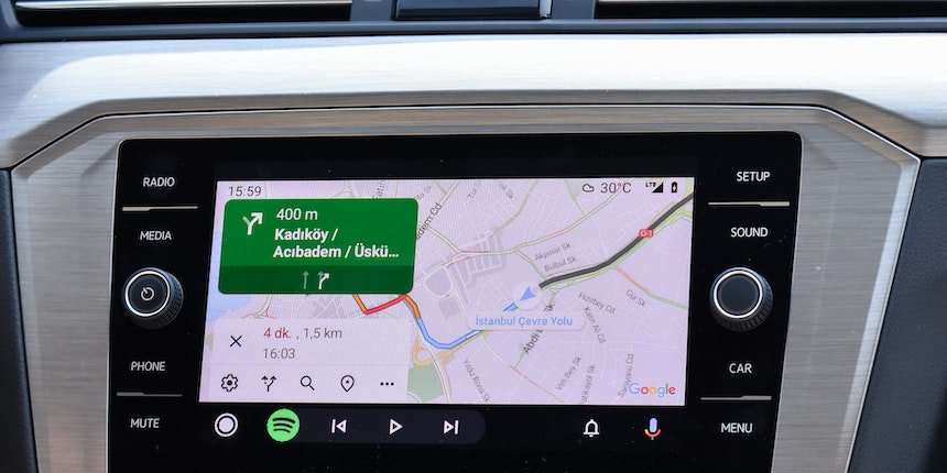
Google Maps for mobile uses the Global Positioning System (GPS) to provide location services to drivers. iOS or Android mobile device location (if available) and data from wireless and cellular networks.
There are two types of signals:
Coarse (or Clear)/Acquisition (C/A) and Precision (P) codes. The actual P-code is modified by the Y-code, often called the P(Y) code, rather than being transmitted directly from the satellite.

Student Community: Where Questions Find Answers