IRS Satellite Full Form
What is Full Form of IRS SATELLITE ?
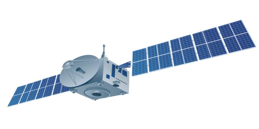
IRS SATELLITE is the Indian Remote Sensing Satellite. It is India's satellite to support agriculture, water resources, forestry, ecology, geology, watersheds, marine fisheries, etc. Its first satellite was IRS-1A which ISRO undertook. First successfully tested a satellite named Bhaskar 1 in India for space which was based entirely on an indigenous remote sensing program. After this, seeing the successful performance of Bhaskar II, the remote sensing system was used in all other sectors. It was developed with the idea of applying space technologies to benefit humankind and the country’s development. It started in 1988 and successfully launched a polar sun-synchronous orbit on 17th march 1988 from the soviet cosmodrome at Baikonur. Some examples of IRS are IRS-1A, IRS-1B, and IRS-P1.

Use Of IRS Data
Data from IRS satellites are used for various resource surveys and management applications under the National Natural Resource Management System (NNRMS). Following is the list of those applications:
Space-Based Inputs for Decentralized Planning (SIS-DP)
National Urban Information System (NUIS)
ISRO Disaster Management Support Programme (ISRO-DMSP)
Biodiversity characterisation at the landscape level
Pre Harvest crop area, production, and estimation of major crops.
Drought monitoring based on vegetation conditions.
Flood risk zone mapping and flood damage assessment.
Hydro-geomorphological maps of locating underground water resources for drilling.
Summary
With the increase in modernisation and the use of computers and technology, these play an essential role in various fields. From war to the economy, these IRS systems are used. These are the future of the modern computer world for gathering information and data. Without visiting the site and collecting the information, these IRS are capable of storing data from sensors.