LAC Full Form
What is the Full Form of LAC?
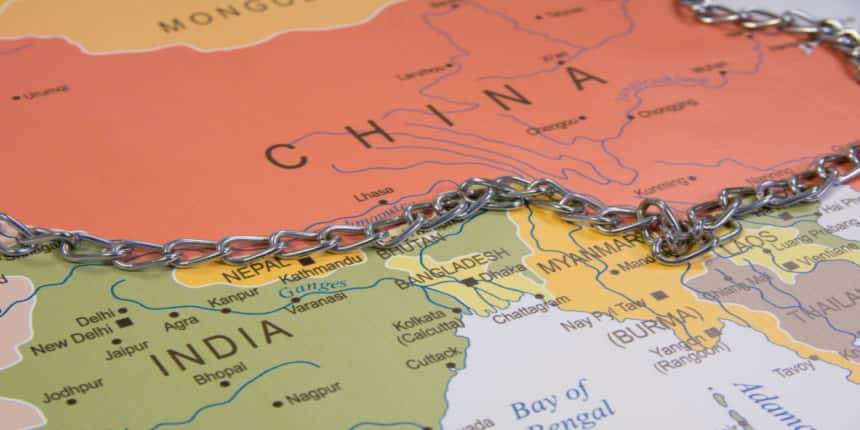
The full form of LAC is the Line of Actual Control. The Line of Actual Control (LAC), which is frequently referred to as the de facto border between China and India, is considered to be a boundary. This 4,057-kilometer border line separates the Chinese Occupied Area of Aksai Chin from the Indian Occupied Area in Jammu and Kashmir. Ladakh, Kashmir, Uttarakhand, Himachal, Sikkim, and Arunachal Pradesh are all included in its route. Despite there being no actual agreement on ground positions between these two nations, a bilateral agreement in 1993 gave rise to the idea of the "Line of Actual Control" (LAC).

India-China Boundary Conflicts And Evolution.
Both nations share a distance of around 3,488 Km, and in the Sino-Indian border dispute, the Line of Actual Control (LAC) is a hypothetical line that divides land under Chinese and Indian control. The boundary that separates the two regions is known as the McMahon line. In addition, the British-Indian government held a conference in 1913 to debate the border between Tibet and India, which led to the division of the Indo-Tibetan frontier. This was carried out without a Chinese representative present, and China later objected. Tawang had been a part of Tibet's vision as well. British India ratified the Shimla Convention in 1937, and Survey of India released maps showing the McMahon Line as the internationally recognized border between Tibet and India. However, China didn’t have a concrete agreement on this and considered this boundary illegal.
When the communists took control of China in October 1949, the situation altered. At the time, India was pursuing Pandit Jawaharlal Nehru's leadership in the Non-Aligned Movement and pursuing a "Peace and Tranquility" foreign policy with its neighbors.
After India gained independence in 1947, it was crystal obvious that the International Border will always be clearly demarcated as the Johnson-Ardagh Line in Ladakh, the existing line in Sikkim, Uttrakhand, and Himachal Pradesh, and the McMahon Line in the East.
When Chinese troops occupied Tibet in August 1950 and incorporated it into China, Nehru was astounded. The commencement of the war in 1962 was because China cleverly tenanted the Aksai Chin area, and after these clashes, the Line of Actual Control (LAC) was developed, which is controlled by the Indians and Chinese military.
Additionally, there is a dispute in the areas near the Pangong Lake in eastern Ladakh, where seepage by China has continued over time. The area around Pangong Tso is known as the "Fingers Area" because the capitals and valleys are shaped like fingers. China claims it as its second finger, but India claims it as its area to the extent of eight fingers.
Divisions And Regions-
Chinese territory is divided from Indian territory by the LAC. The expected area covered by these regions is around 4,057 kilometers long. Both countries' troops maintain control from 50 to 100 kilometers away. LAC has been partitioned into three areas:
Western region (includes Ladakh and Kashmir),
Middle region ( includes Himachal Pradesh and Uttarakhand), and
Eastern region (Sikkim and Arunachal Pradesh).
Frequently Asked Questions (FAQs)
LAC is the borderline of China and Indian territory, and this hotline is controlled by the Indian region of Ladakh and the Chinese Tibet region; also, it is located in the western sector.
Two years after the conflict began, China's mobilizations along the Line of Actual Control (LAC) are still ongoing. The 2020 problem was a "wake-up call," and the issue at the northern frontiers was given "more focus." A 73-day military standoff between India and China occurred in 2017 at Doklam, the intersection of Bhutan, China, and India.
The term LAC was named by the Prime Minister of China, Zhou Enlai, right after the agreement of a borderline contract with the prime minister of India, Jawahar Lal Nehru, in 1996.
Nearly 3,488 km long boundary is covered by the two nations, and the line that separates is called the McMahon line.
Line of Control (LOC) | Line of Actual Control (LAC) |
The LOC, or line of control, is a busy line where many things happen, including fire and direct communication. The militaries have specified the LOC precisely. | The Chinese-controlled territory is separated from Indian-controlled territory by the Line of Actual Control. The militaries of China and India are in charge of maintaining a large, empty space that is between 50 and 100 kilometers long. |
Jammu & Kashmir, which makes up about 45% of Kashmir, is the name of the Indian portion of the Line of Control (i.e., the southern and eastern parts of the area). |

